Météo France French West Indies – Caribbean

Updated on February 09, 2026
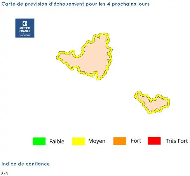
Saint Martin / Sint Maarten – Saint Barth
Stranding risk map for the next 4 days :

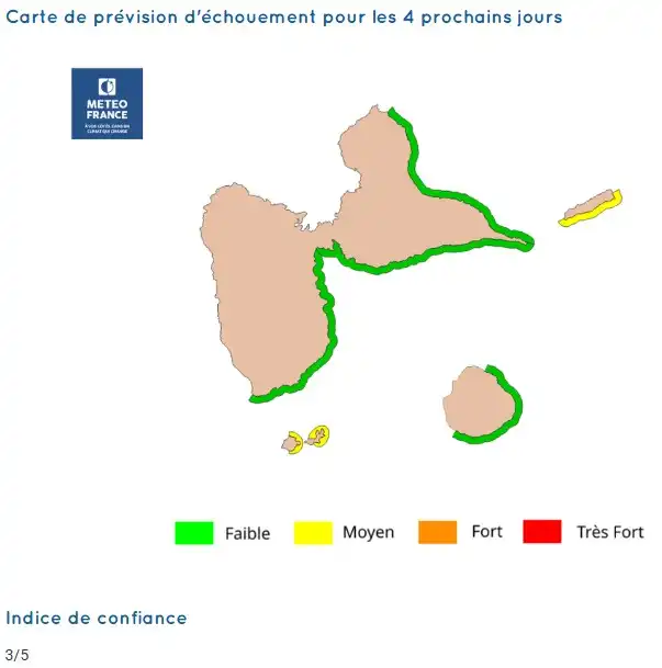
Guadeloupe
Stranding risk map for the next 4 days :

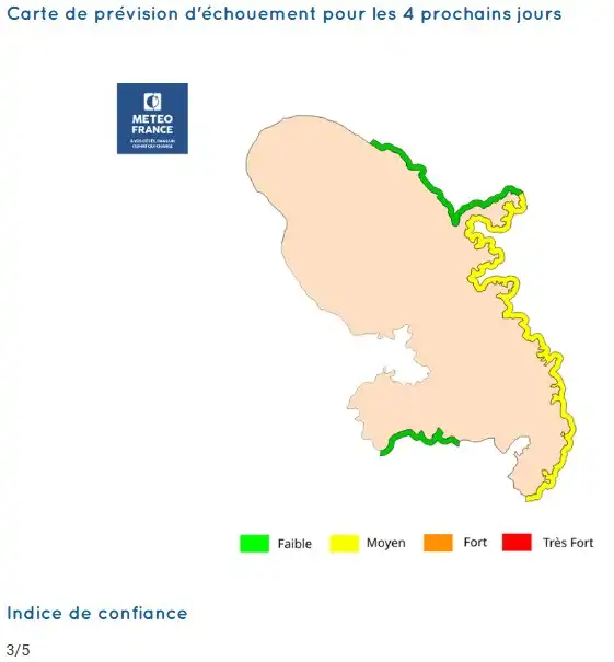
Martinique
Stranding risk map for the next 4 days :

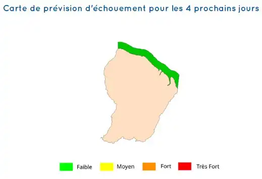
Guyane
Stranding risk map for the next 4 days :

Source: Météo France – Saint Martin/Saint Barthelemy – Guadeloupe – Martinique – Guyane
Sargassum Monitoring®, a verification site for Météo France
